Geography - The Kimberley is an area of 423,517 square kilometres (163,521 sq mi), which is about three times the size of England or twice the size of Victoria. The Kimberley consists of the ancient, steep-sided mountain ranges of northwestern Australia cut through with sandstone and limestone gorges and steep ridges from which the extreme monsoonal climate has removed much of the soil. The southern end of the Kimberley beyond the Dampier Peninsula is flatter with dry tropical grassland and is used for cattle ranching. In parts of the Kimberley such as the valleys of the Ord and Fitzroy Rivers in the south the soils are relatively usable cracking clays, whilst elsewhere they are lateritic Orthents. Although none of the mountains reach even 1,000 metres (3,281 ft), there is so much steep land as to make much of the region very difficult to traverse, especially during the wet season when even sealed roads are often flooded. The coast is typically steep cliffs in the north but flatter in the south., all subject to high tides.
Climate - The Kimberley has a tropical monsoon climate. The region receives about 90% of its rainfall during the short wet season, from November to April, when cyclones are common (especially around Broome) and the rivers flood. The annual rainfall is highest in the northwest, where Kalumburu and the Mitchell Plateau average 1,270 millimetres (50 in) per year, and lowest in the southeast where it is around 520 millimetres (20 in). In the dry season, from May to October, south easterly breezes bring sunny days and cool nights. Climate change since 1967 has led to large increases of as much as 250 millimetres (10 in) per year in annual rainfall over the whole region. Recent studies suggest Asian pollution and not global warming as the cause of this increased rainfall. In 1997 and 2000 the region received especially heavy rains, leading to record flooding of the Fitzroy and other rivers. The Kimberley is one of the hottest parts of Australia, with the average annual mean temperature around 27 °C (81 °F), and with mean maximum temperatures almost always above 30 °C (86 °F), even in July. The hottest part of the year is November before the rains break, when temperatures frequently reach above 37 °C (99 °F) on the coast and well over 40 °C (104 °F) inland. Mean minimum temperatures in July range from around 12 °C (54 °F) in the south to 16 °C (61 °F) along the coast, whilst in November and December they are generally around 26 °C (79 °F). Record high temperatures range from around 47 °C (117 °F) to 48 °C (118 °F), while record lows are around 2 °C (36 °F) to 3 °C (37 °F), although some parts of the central Kimberly plateau can drop below 0 °C (32 °F) during the dry season. The Kimberley has a tropical monsoon climate. The region receives about 90% of its rainfall during the short wet season, from November to April, when cyclones are common (especially around Broome) and the rivers flood. The annual rainfall is highest in the northwest, where Kalumburu and the Mitchell Plateau average 1,270 millimetres (50 in) per year, and lowest in the southeast where it is around 520 millimetres (20 in). In the dry season, from May to October, south easterly breezes bring sunny days and cool nights. Climate change since 1967 has led to large increases of as much as 250 millimetres (10 in) per year in annual rainfall over the whole region. Recent studies suggest Asian pollution and not global warming as the cause of this increased rainfall. In 1997 and 2000 the region received especially heavy rains, leading to record flooding of the Fitzroy and other rivers. The Aboriginal people of the Kimberley recognise six traditional seasons based on meteorological events, as well as observations of flora and fauna.
Geology - During the Devonian period, a barrier reef system formed before a subsequent drop in sea levels over the Kimberley. This reef system was similar to the Great Barrier Reef and is still visible today in the form of the Napier Range and the Ningbing Range. Some of the features are Tunnel Creek, Windjana Gorge and Geikie Gorge. This area is also known as the Kimberley Block physiographic province, of which it is part of the larger West Australian Shield division. This province contains the King Leopold Range, Durack Range, Leveque Rise, Browse Depression, and Londonderry Rise physiographic sections.
Economy - The town of Broome has a flourishing pearling industry which operates around the Kimberley coast. Some of the major farmers are Paspaley Pearls, Clipper Pearls, Broome Pearls and the Willie Creek Pearl Farm. One third of the world's annual production of diamonds is mined at the Argyle and the Ellendale diamond mines. Oil is extracted from the Blina oil field and gas is expected to be taken from offshore sources soon. Zinc and lead were mined at the Pillara and Cadjebut mines near Fitzroy Crossing with nickel still being mined at Sallay Mallay near Halls Creek. Derby is the nearest export base for shipping these metals. Traditionally, the economy depended on pastoral leases - with most of the region covered by the leases. More recently agriculture has been focused on the Ord River Irrigation Area near Kununurra. Irrigation was also trialled in the West Kimberley by way of the now defunct Camballin Irrigation Scheme. There are also fruit growers in Broome and in other areas in the West Kimberley. Beef cattle are grown in the Kimberley and exported live. Broome features a fully equipped Aquaculture Park near the port which is tenanted by amongst others Paspaley Pearls and Broome TAFE. The Kimberley also has a thriving fishing industry. Some of Australia's most prominent indigenous artists and art centres are in or adjacent to the Kimberley region. Artists such as Paddy Bedford and Freddie Timms have an international profile, and there are a number of Aboriginal-owned and controlled art centres and companies that assist artists, arrange exhibitions and sell works. The art centres in the region are also organised through the Association of Northern, Kimberley and Arnhem Aboriginal Artists. Issues have been raised regarding the exploitation of indigenous artists by businesses and individuals, including in the Kimberley, which were canvassed in an Australian Senate parliamentary committee report.
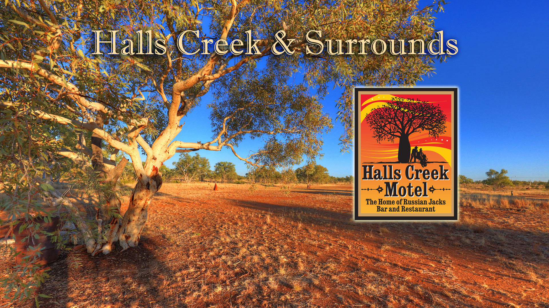
Halls Creek Township
History -The land now known as Halls Creek has been occupied for thousands of years. The land is crossed by songlines and trading paths stretching from the coasts to the deserts, some passing near the modern town. The story of that long occupation remains alive today and it is revealed in the culture of the Jaru, Kija, Kukatja, Walmajarri, Gooniyandi and other indigenous people who live in Halls Creek shire. That ancient world changed late in the 1800s when Europeans invaded, searching for minerals for wealth and land for cattle. On Christmas Day 1885 prospector Charlie Hall found a huge 28-ounce (nearly 1 kilogram) gold nugget at a site that would eventually be named after him. News of the discovery drew more than 15,000 people to what is now Old Halls Creek to try their luck. It proved an inhospitable land for these people and the graves of some can be found in Old Town's small cemetery. The gold rush lasted less than 3 months and Halls Creek became a trading centre for cattle stations, aboriginal communities and miners who stayed in the area. The post office with its telegraph line that terminated here, the police station, government office, racecourse and stores gave the town a purpose. In 1918 the Australian Inland Mission built a hospital and the old town struggled on, short of inhabitants and water. In 1948 an airfield was built near the site of the present town and over the next decade the old town moved nearer to this new site. Except for the police station, which finally relocated in 1961, the old town was abandoned by 1954.
Location - Halls Creek is a town situated in the East Kimberley region of Western Australia. It is located between the towns of Fitzroy Crossing and Turkey Creek (Warnum) on the Great Northern Highway. It is the only sizeable town for 600 km on the Highway. Halls Creek is also the northern end of the Canning Stock Route, which runs 1,850 km through the Great Sandy Desert until the southern end of the route at Wiluna. The town functions as a major hub for the local indigenous population and as a support centre for cattle stations in the area.
Historically Significant
Wolfe Creek Crater -Wolfe Creek Crater is a well-preserved meteorite impact crater (astrobleme) in Western Australia. It is accessed via the Tanami Road 150 km (93 mi) south of the town of Halls Creek. The crater is central to the Wolfe Creek Meteorite Crater National Park. The crater averages about 875 metres in diameter, 60 metres from rim to present crater floor and it is estimated that the meteorite that formed it had a mass of about 50,000 tonnes, while the age is estimated to be less than 300,000 years (Pleistocene). Small numbers of iron meteorites have been found in the vicinity of the crater, as well as larger so-called 'shale-balls', rounded objects made of iron oxide, some weighing as much as 250 kg. It was brought to the attention of scientists after being spotted during an aerial survey in 1947, investigated on the ground two months later, and reported in publication in 1949. The European name for the crater comes from a nearby creek, which was in turn named after Robert Wolfe (early reports misspell the name as Wolf Creek), a prospector and storekeeper during the gold rush that established the town of Halls Creek.
Purnululu National Park including Bungle Bungle Ranges - It is located in north east of Western Australia. The nearest major town is Kununurra to the north, or Halls Creek to the south. Purnululu is the name given to the sandstone area of the Bungle Bungle Range by the Kija Aboriginal people. The name means sandstone or may be a cordon of bundle grass. The range, lying fully within the park, has elevations as high as 578 metres above sea level. It is famous for the sandstone domes, unusual and visually striking with their striping in alternating orange and grey bands. The banding of the domes is due to differences in clay content and porosity of the sandstone layers: the orange bands consist of oxidised iron compounds in layers that dry out too quickly for cyanobacteria to multiply; the grey bands are composed of cyanobacteria growing on the surface of layers of sandstone where moisture accumulates
Notable Citizens Ernie Bridge AM - Ernest Francis "Ernie" Bridge, AM (15 December 1936 – 31 March 2013) was an Australian parliamentarian and country music singer. He was a member of the Western Australian Legislative Assembly from 1980 to 2001, representing the electorate of Kimberley, first as an Australian Labor Party representative (1980–1996) and then as a Labor Independent MP (1996–2001). He was the first indigenous Australian to be a Cabinet minister in any Australian government. He was married to Mavis Bridge from 1960 until her death in March 2009 and had two daughters and two sons. Bridge was born in Halls Creek. He was a pastoralist and businessman prior to entering politics, and was also a founding member of the Aboriginal Lands Trust in 1972. He served on the Halls Creek council from 1962 to 1979. He contested the marginal seat of Kimberley for the Labor Party at the 1980 state election and won, defeating incumbent Liberal Alan Ridge becoming the first Aboriginal member of the WA parliament. He was a backbencher for his first two terms, being re-elected at the 1983 election and 1986 election. Ernie Bridge, a descendant of First Fleet convict Matthew James Everingham, was promoted to the ministry by Premier Brian Burke after the return of the Labor government at the 1986 election, with his appointment as Honorary Minister assisting the Ministers for Water Resources, The North-West and Aboriginal Affairs. This made him the first indigenous politician anywhere in Australia to serve in a ministerial portfolio. He was promoted in July of that year to Minister for Water Resources, the North-West and Aboriginal Affairs. He was shifted to the portfolio of Minister for Small Business in 1988 after the accession of Peter Dowding as Premier, but regained his old portfolios in 1989 with his appointment as Minister for Agriculture, Water Resources and the North West, a role which he held until the defeat of the Labor government at the 1993 state election. Bridge continued as a member of the Shadow Ministry after Labor's defeat in 1993, serving as Shadow Minister for Trade from 1993 to 1994 and Shadow Minister for Aboriginal Affairs and the North West from 1993 to 1996. He resigned from the ALP, sitting as a Labor Independent and was re-elected in 1996 as the Independent Labor Member for Kimberley. He retired at the 2001 election. In 1997, he established Unity of First People of Australia, a non-profit organisation which assists Aboriginal people in Western Australia with employment within the law and order, health and education industries. Bridge is noted also for promoting the concept of a water pipeline from the Fitzroy River to Perth. He later went on to promote a larger scale scheme including piping water from northern Queensland rivers to the south-eastern Australian cities.